
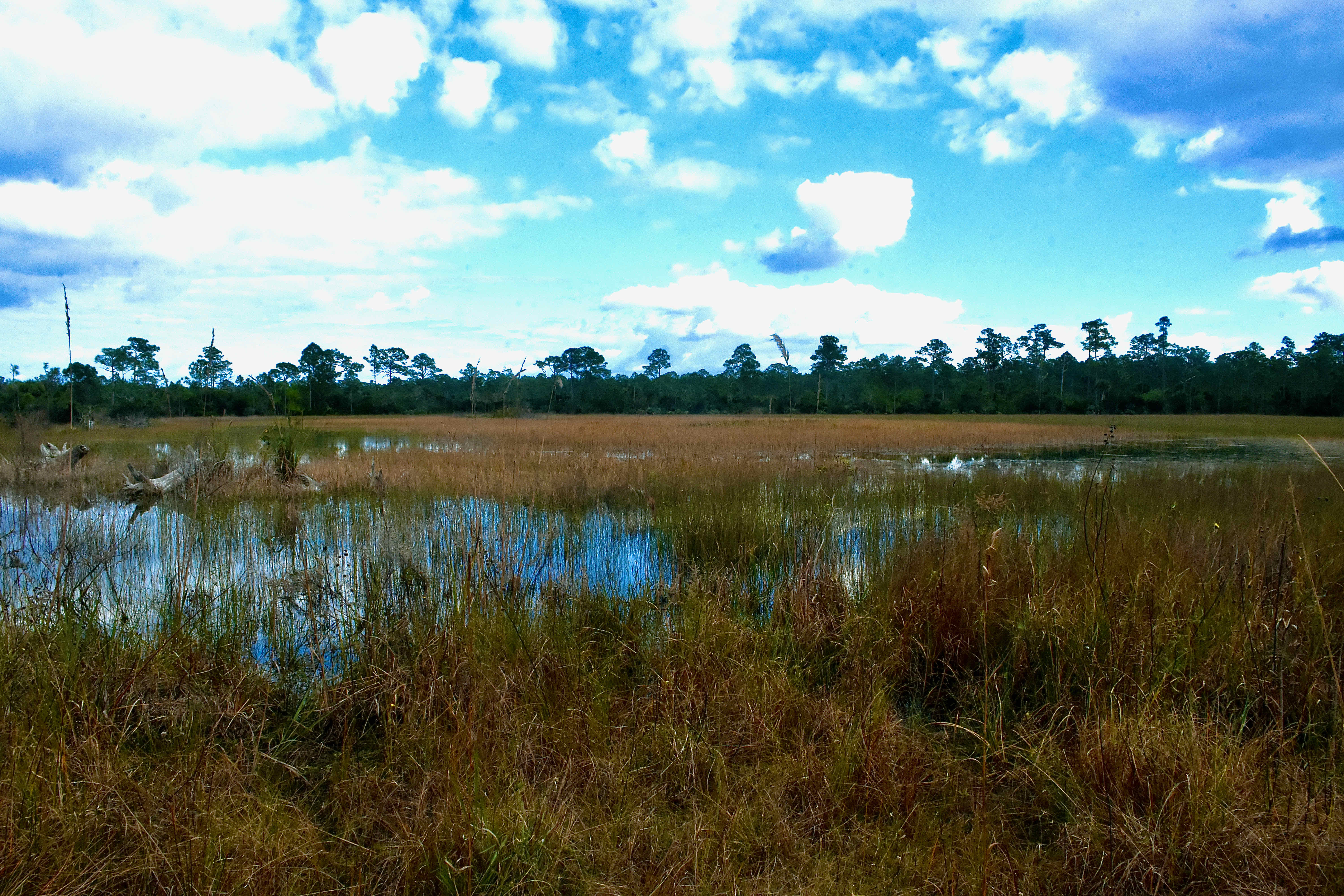
A slough by definition is land through which water flows most of the year, not quite a river but something akin to a drainage basin. So where does water from Loxahatchee Slough Natural Area flow? East and south into the nearby Loxahatchee River and into the Everglades, the River of Grass. A mapping expedition undertaken by one William de Brahm for King George III in 1770 identified the slough as headwaters for two of the forks of the Loxahatchee. Loxahatchee Slough historically has been considered the northern most point of the Everglades. Water defines everything here, and the construction of the C-18 canal through the heart of the slough in 1958 made major changes to Loxahatchee. A survey of vegetation done in 1940 found that forested uplands covered only 8 percent of the land within the slough; a survey done in 1989 found that had increased to nearly 23 percent. Palm Beach County land managers say that more than half of Loxahatchee Slough Natural Area is now covered in pine flatwoods — upland forests. The presence of water inhibits the growth of slash pines, but the construction C-18 allowed them to flourish in places that used to be wet prairie or marsh. Various government agencies have been working to restore the natural waterflow for the benefit of both the slough itself and the Loxahatchee River.
RETURN TO THE TOUR PAGE. — || — RETURN TO THE MAIN PAGE