Hungryland Slough Natural Area is a slice of suburbia that almost was. It's also a very wet place. Ultimately, fortunately, too wet for development, which is why it's now a Palm Beach County-owned preserve.
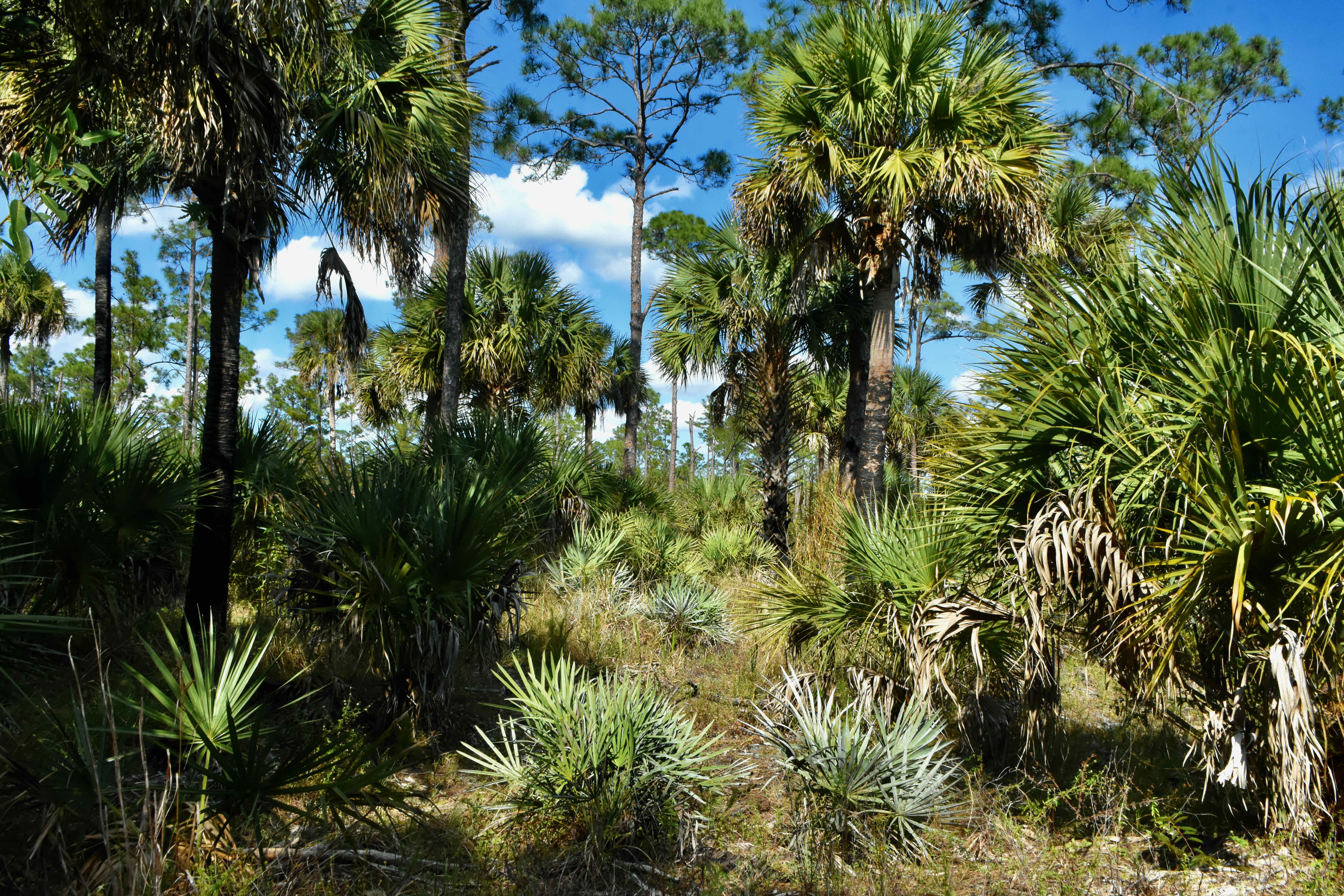
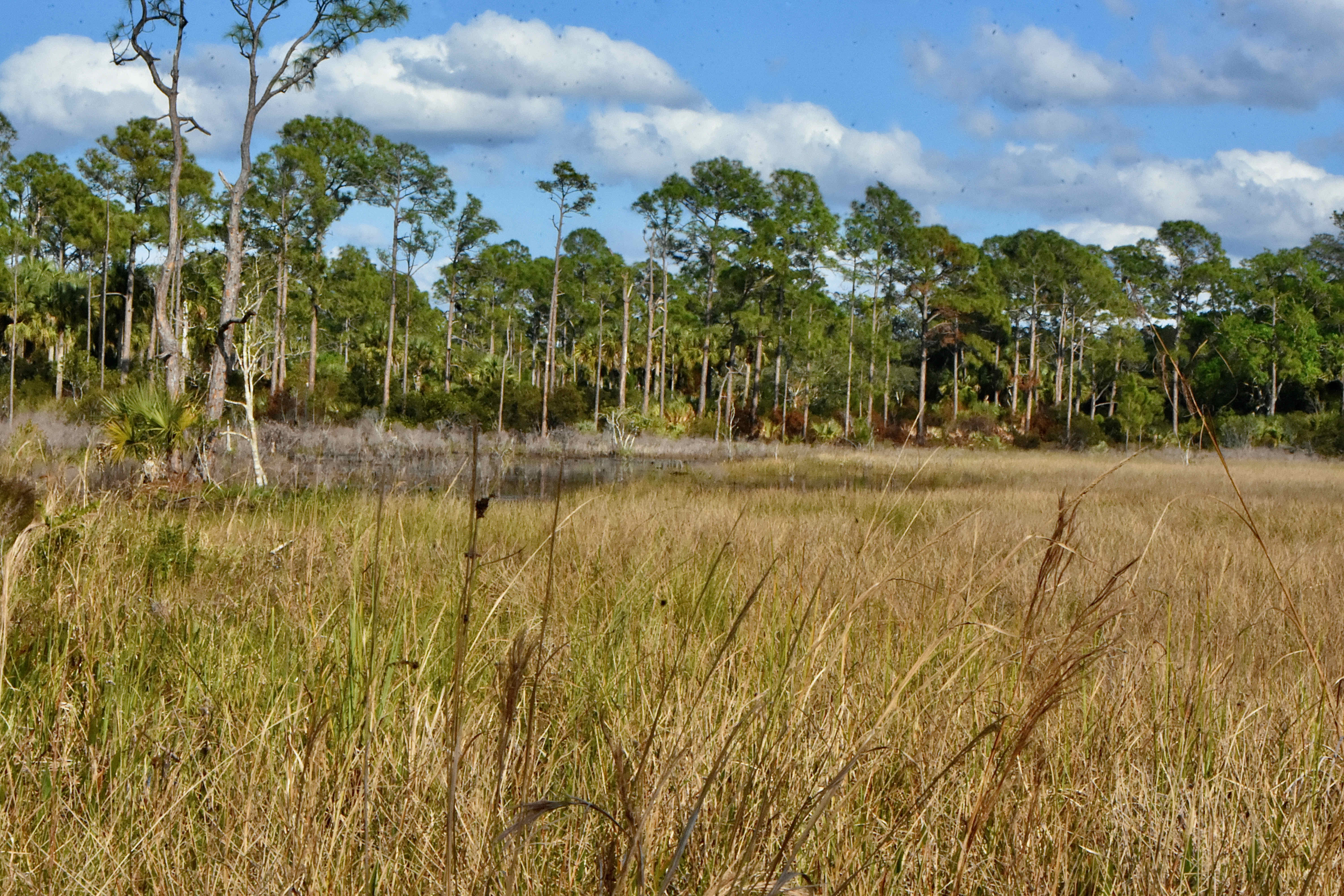
It's 3,004 acres of wet pinelands, wet meadows, marshes and swamps. Which is how it should be, and how it once was, once upon a time. But examine an aerial photograph of the site and you'll see the scars left from attempts to develop Hungryland into something much different. Walk the site and you'll see the remants of a network of roads and canals once intended to make it a very dry neighborhood. Back in the 1970s, developers actually subdivided the land into 1,303 lots, selling them to 900 buyers. But sloughs being sloughs, the land could never be adquately drained.
Palm Beach County began acquiring the the land in the mid-1990s and went to work filling canals, removing roads and drainage culverts while restoring water levels to their natural state. Altogether 38 miles of roads were removed and 12 miles of canals filled. Acres of exotic invasives like melaleuca and Brazilian pepper had to be removed. There are still remnants of the unnatural systems imposed on this land, but Instead of draining the place, they now provide habitat for wading birds and other wildlife, and uniquely beautiful vistas into the heart of the natural area.
Early map makers referred to Hungryland Slough as the "west prong of the Loxahatchee Marsh." Waters from here flow both through the nearby Loxahatchee Slough and into the Wild and Scenic Loxahatchee River to the east and into the Everglades to the south. Evidence of human activity in the slough dates back to prehistoric times, but the name "Hungryland" is relatively recent. Seminoles fled here after their defeat at the Battle of Loxahatchee in 1838, but found it an inhospitable place, lacking in game and fruit. European settlers tried their hand at making a living here, but were equally unsuccessful. The Seminole referred to their stay as the "hungry times," and apparently so did the settlers who tried their hand at ranching and citrus groves. The name stuck.
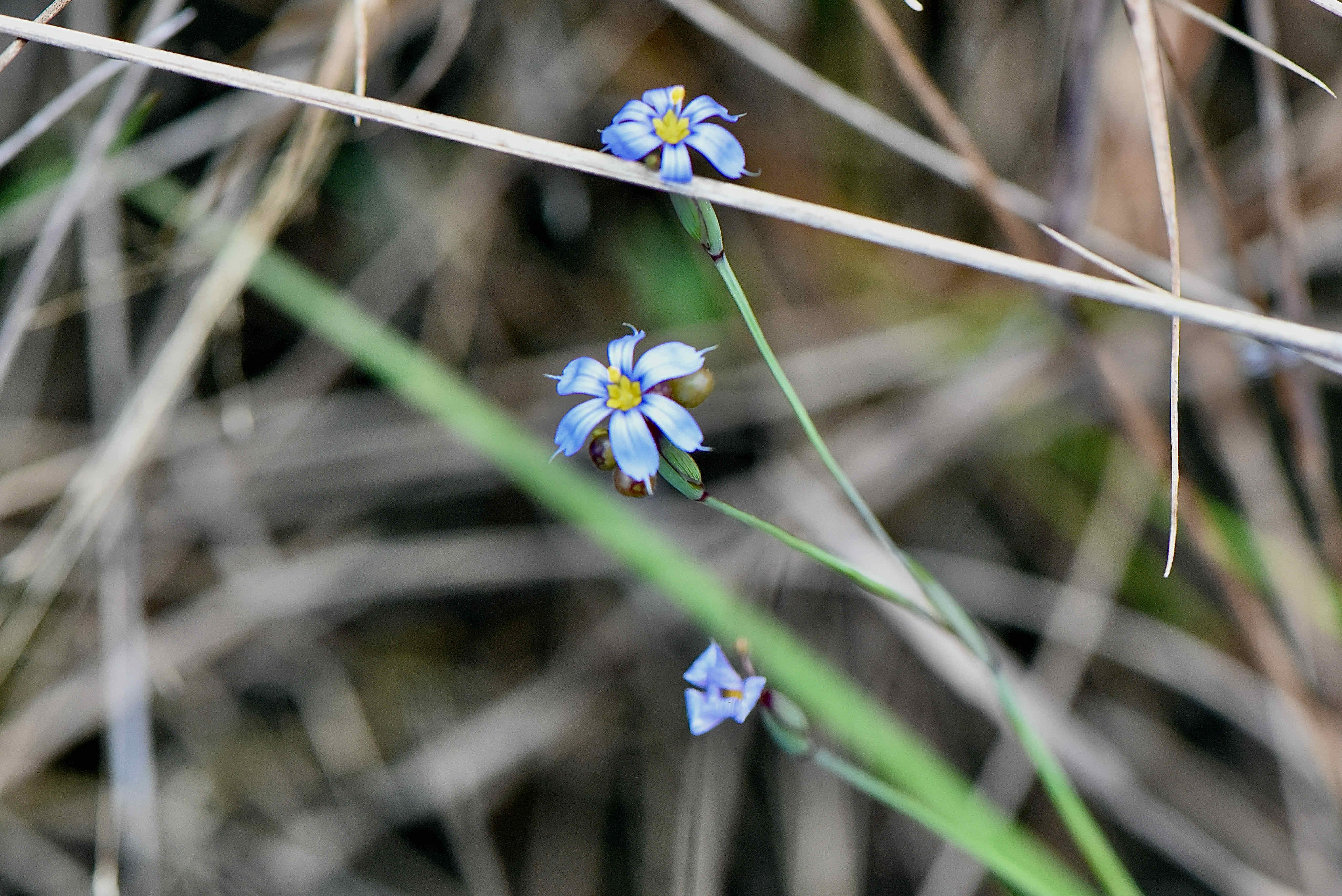
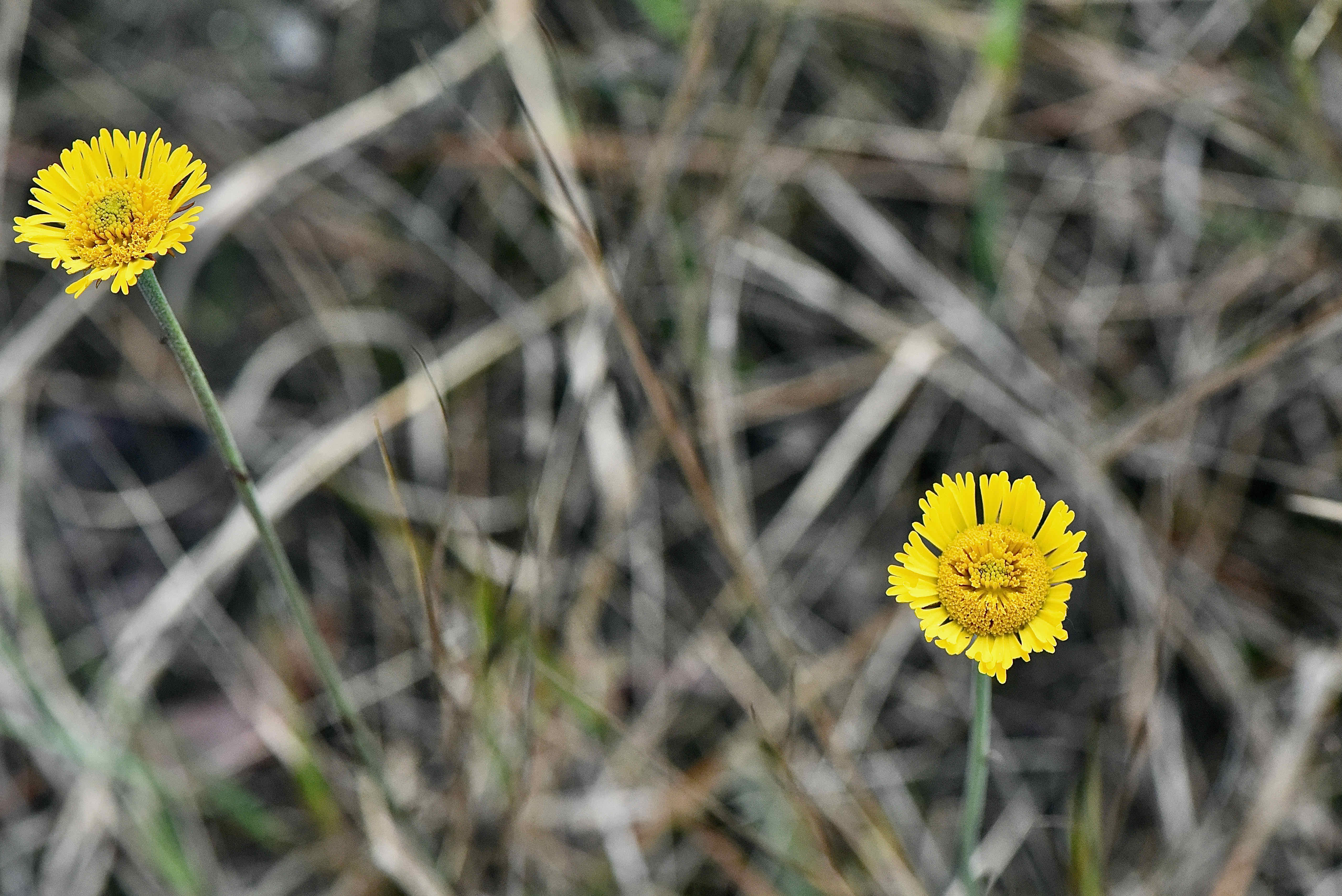
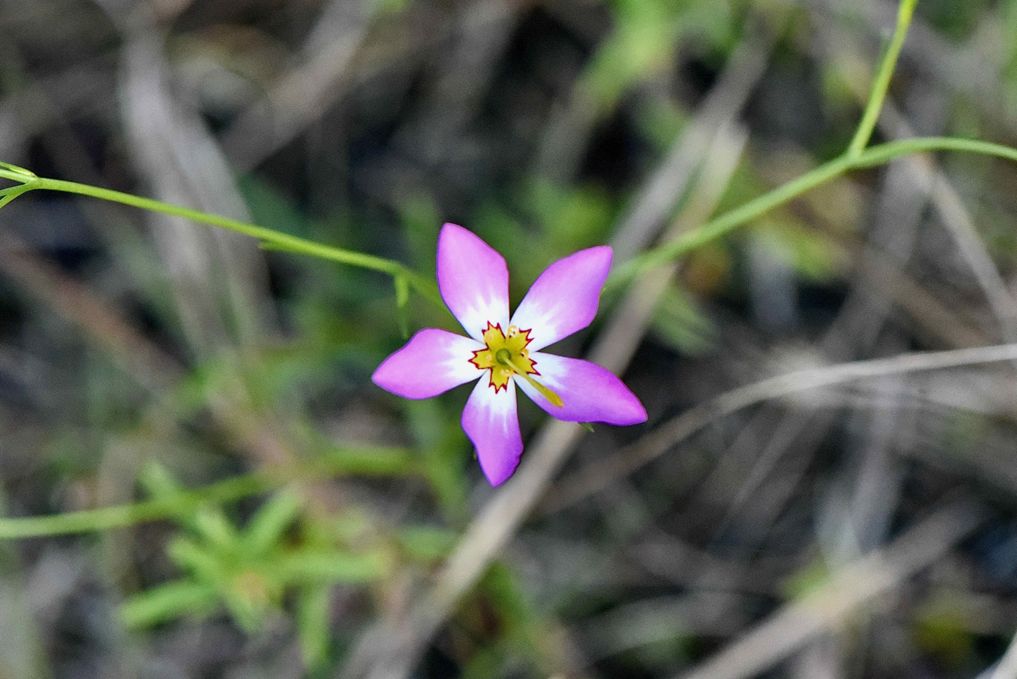
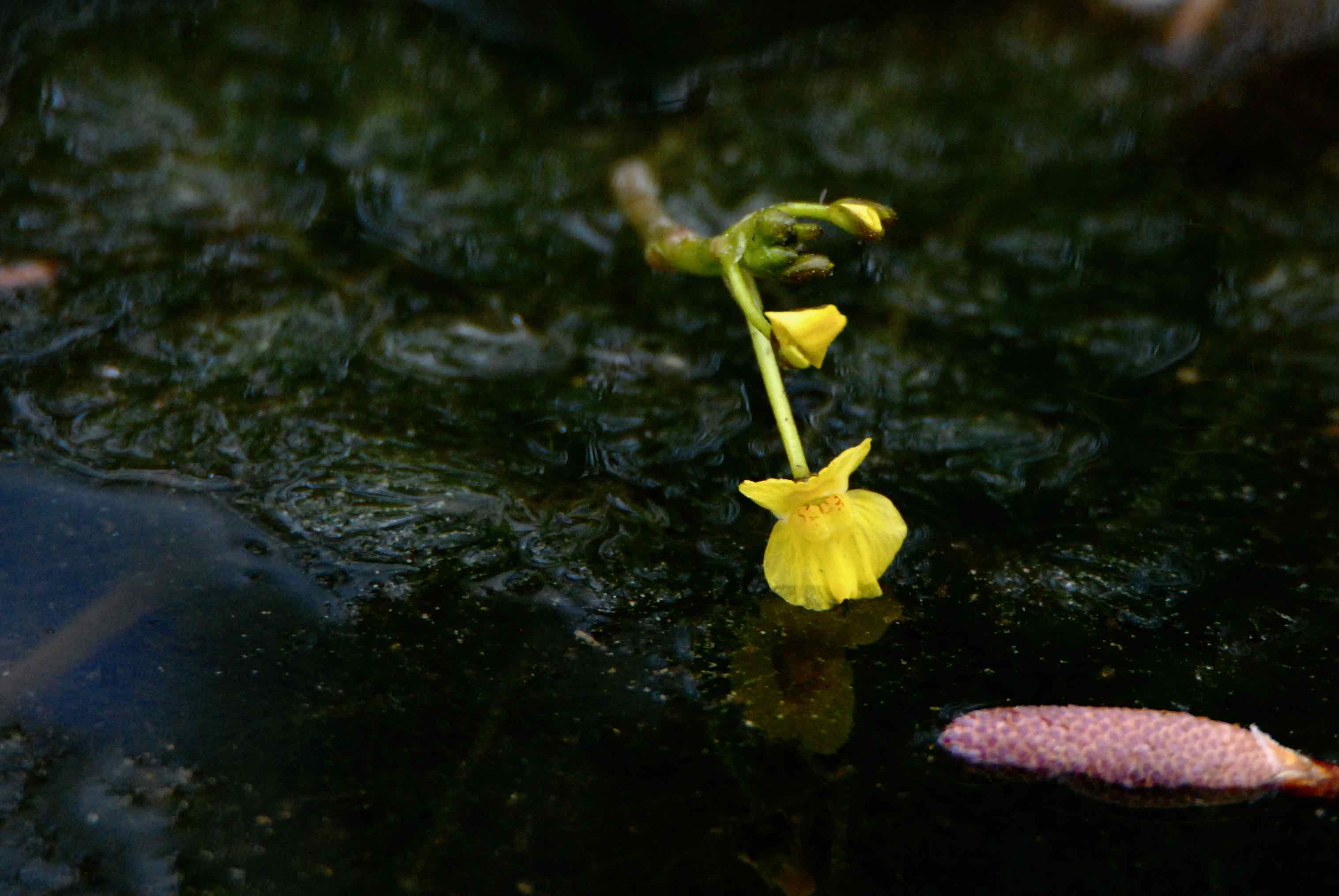
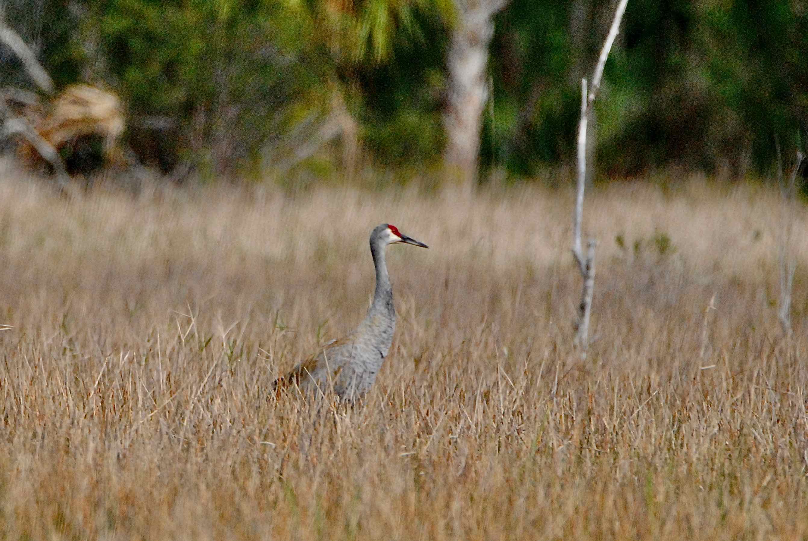
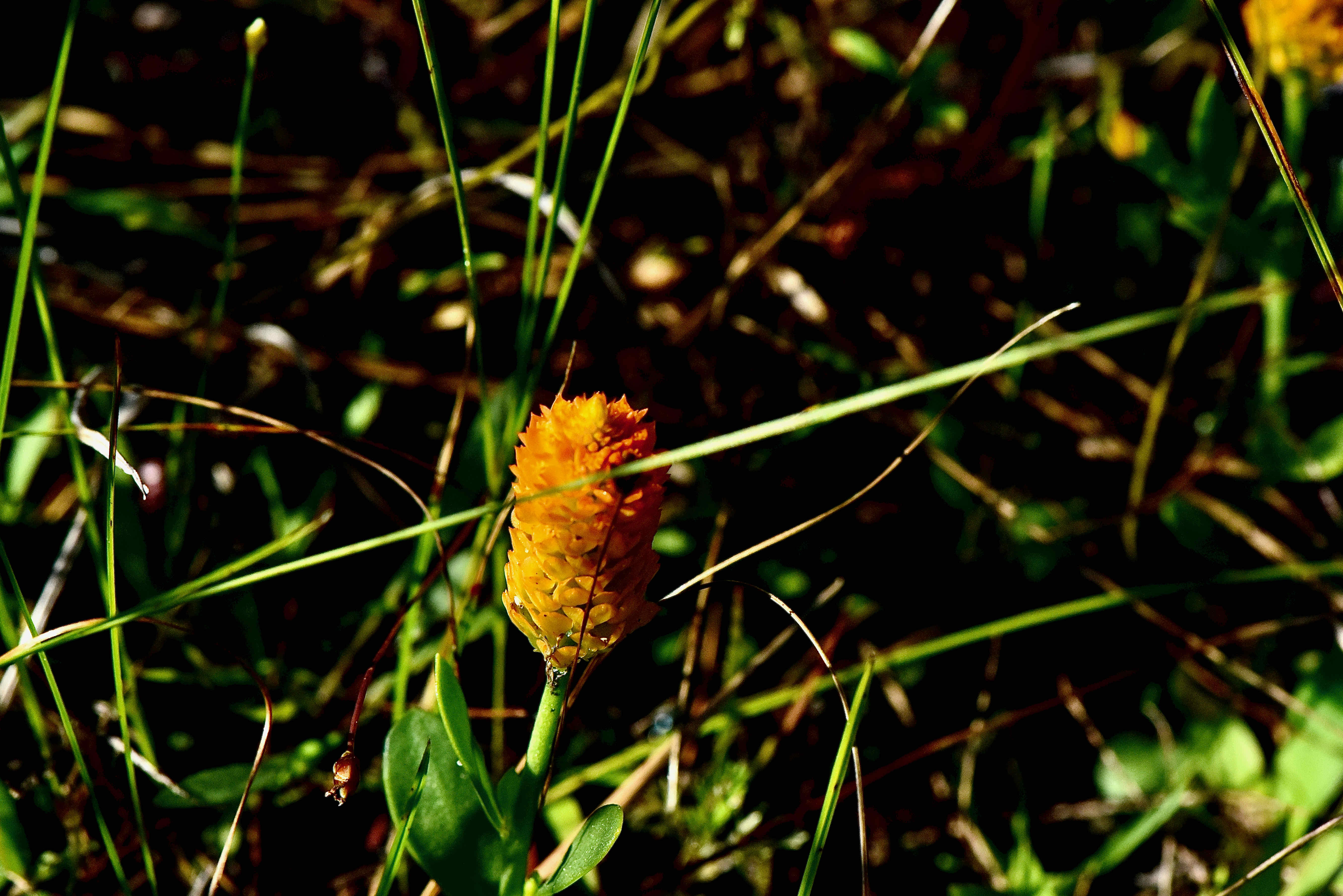
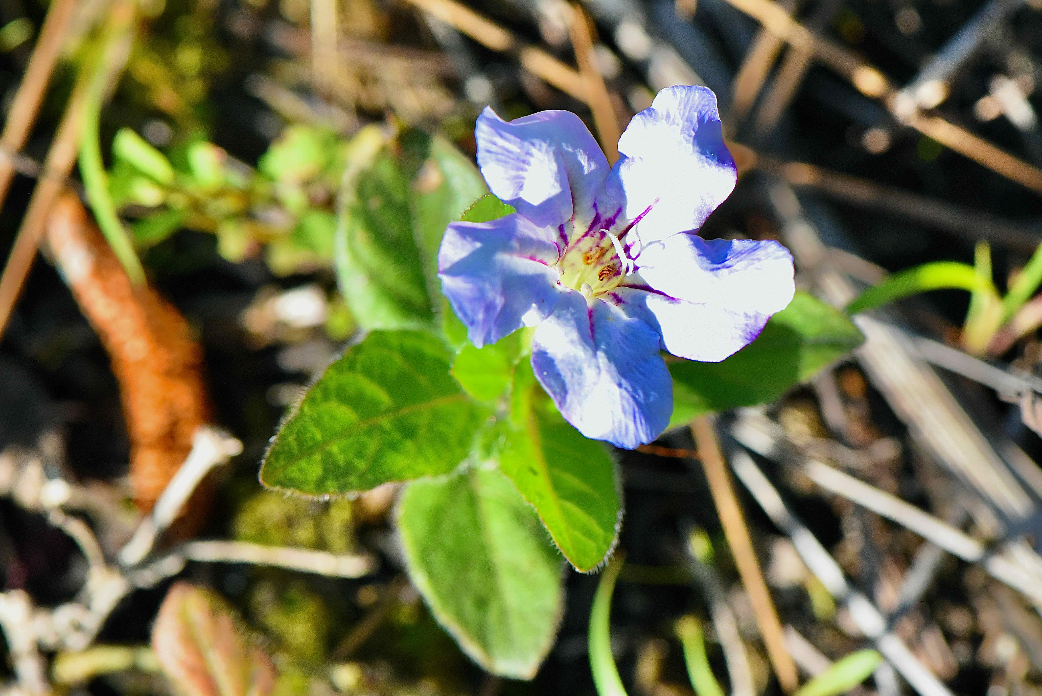
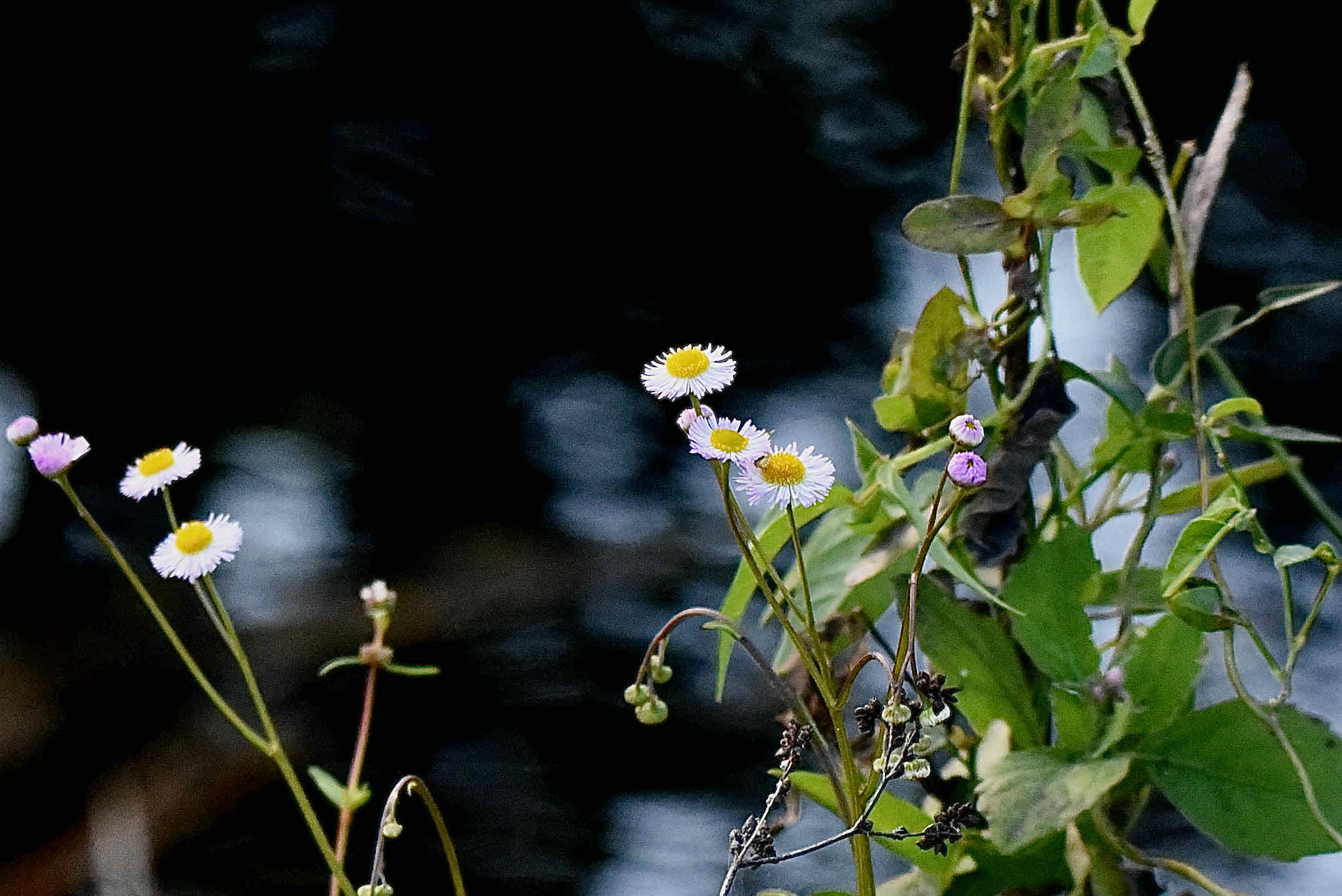
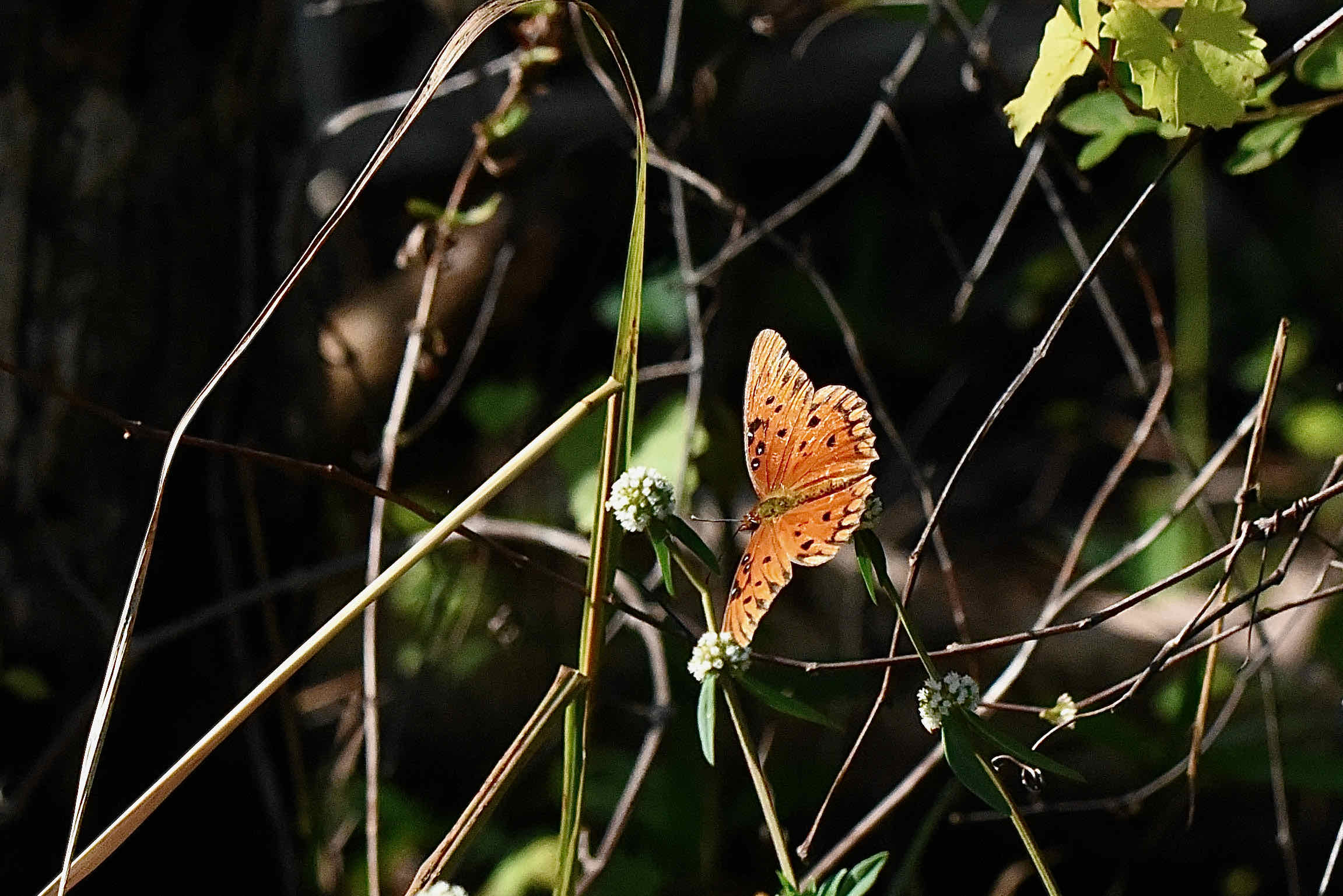
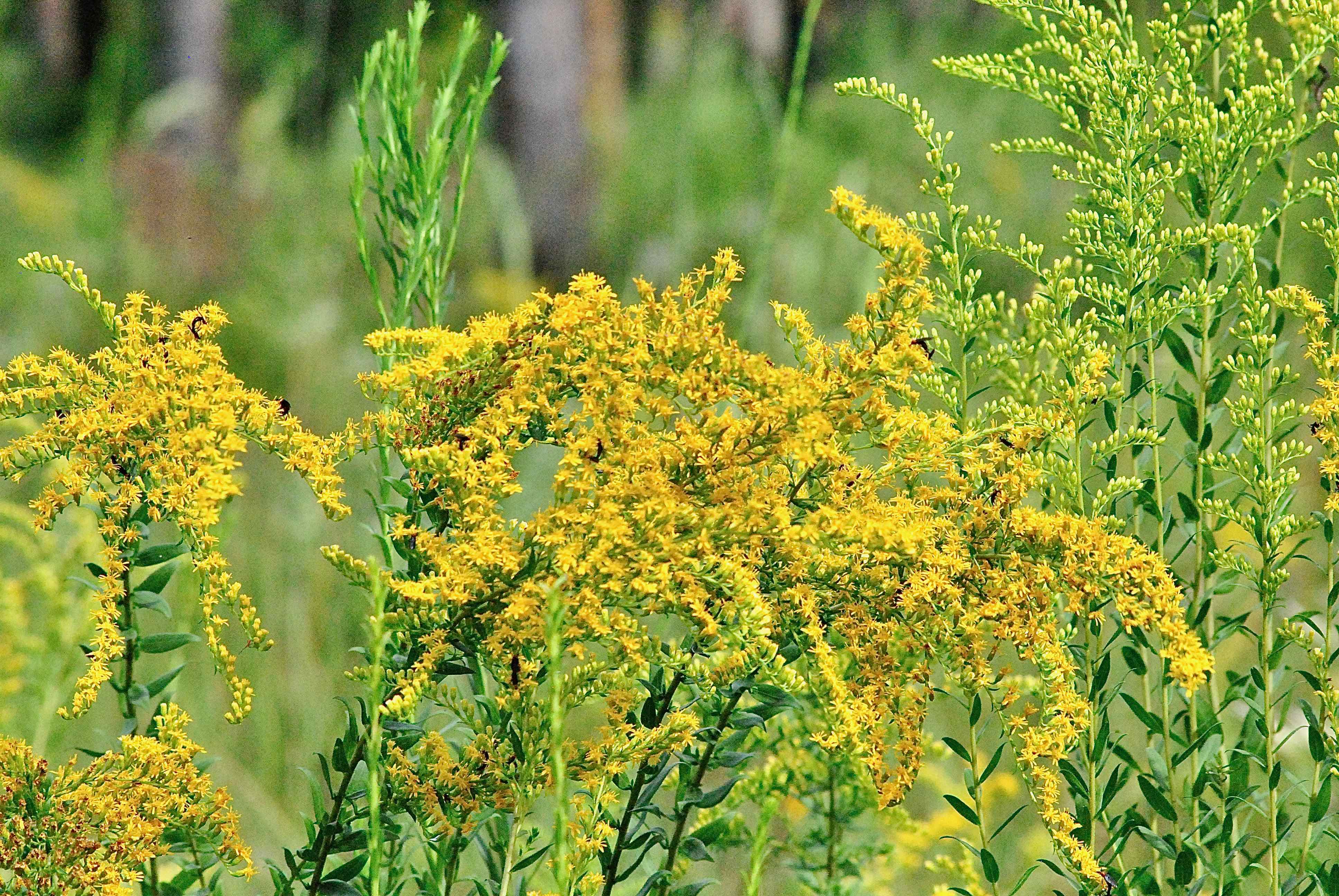
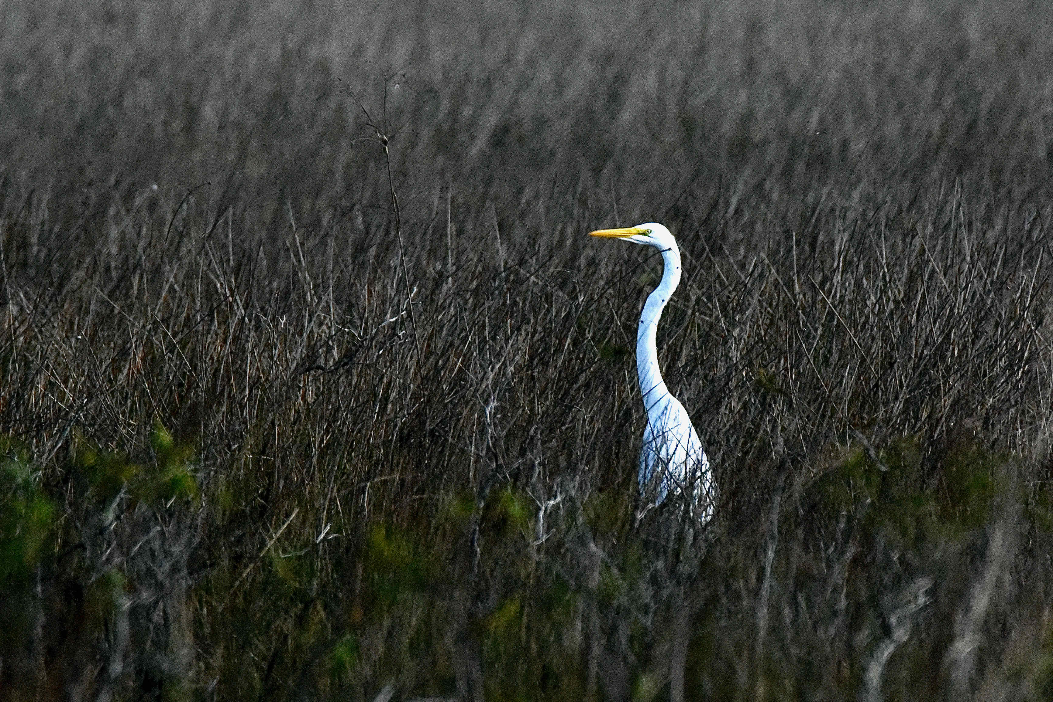
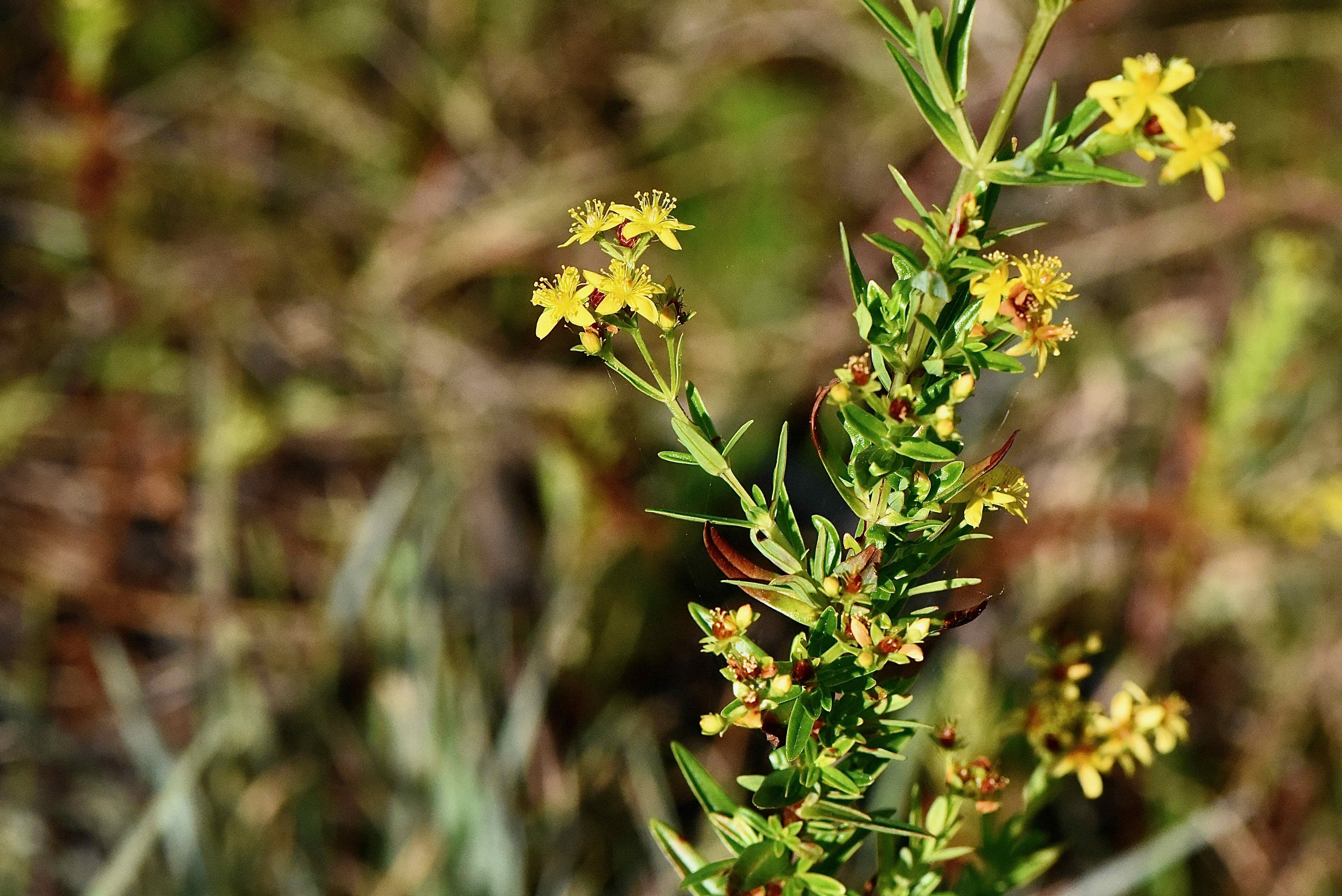
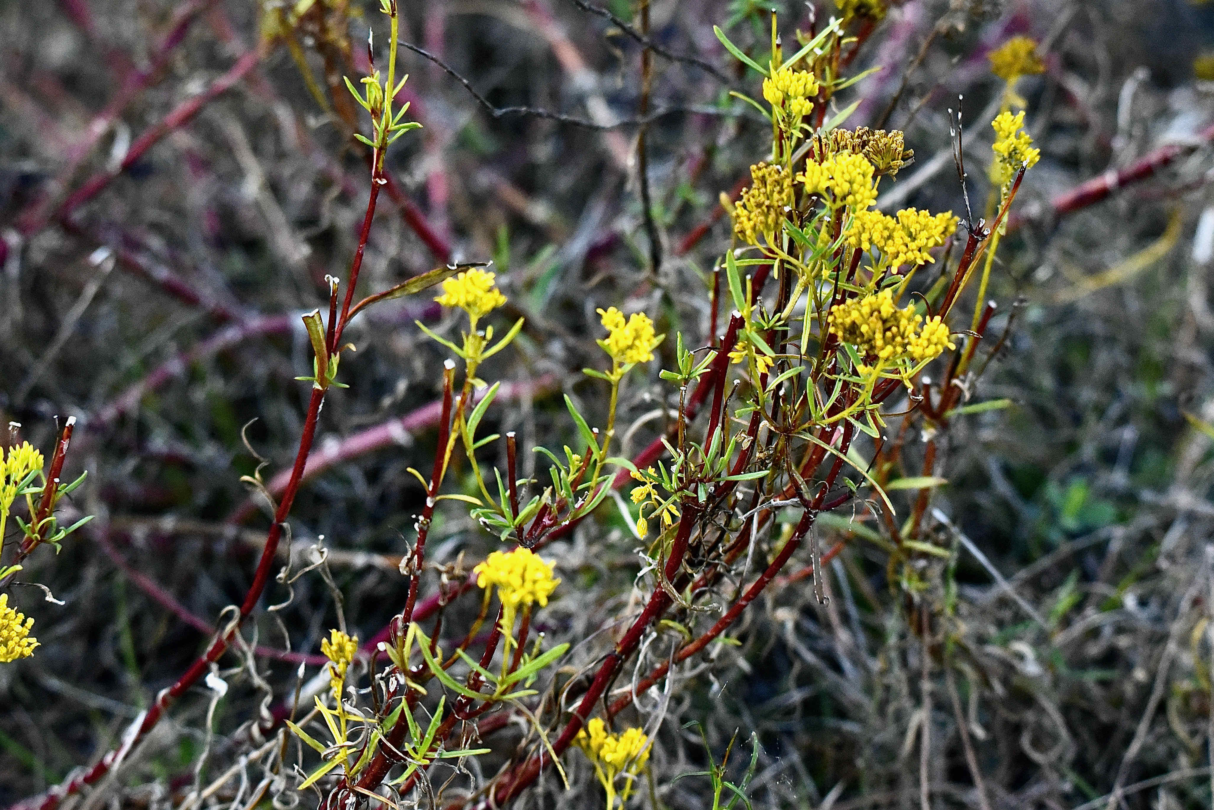
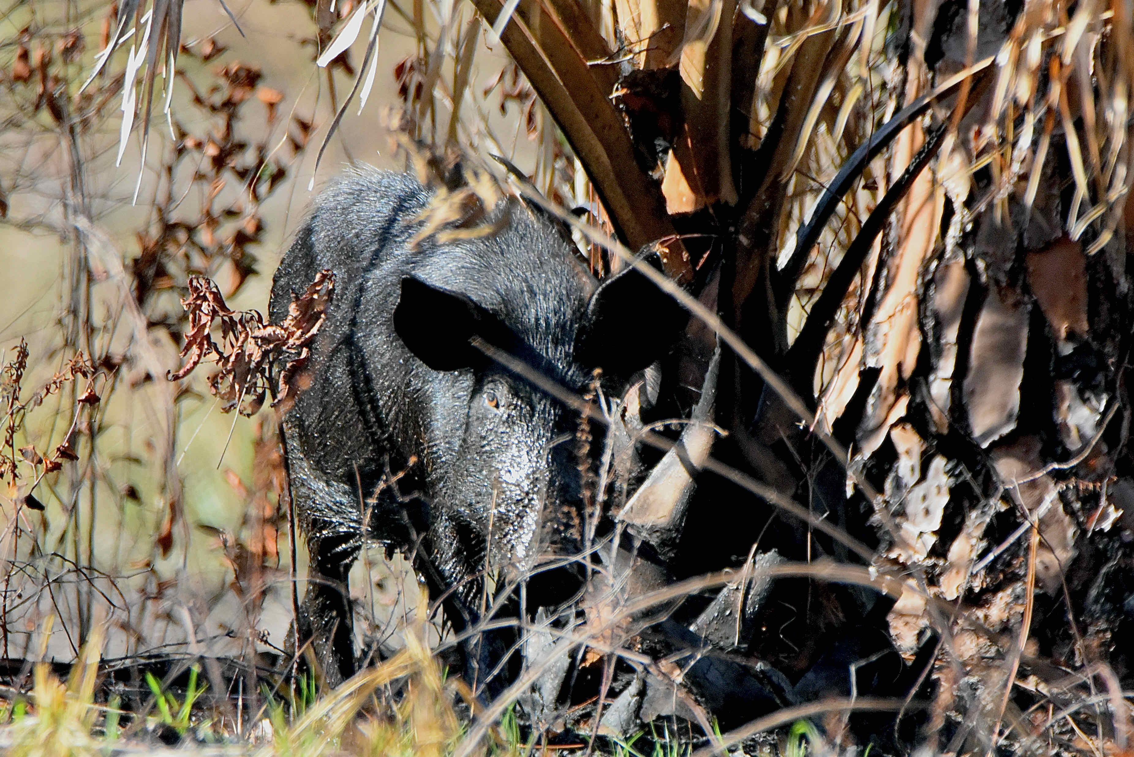
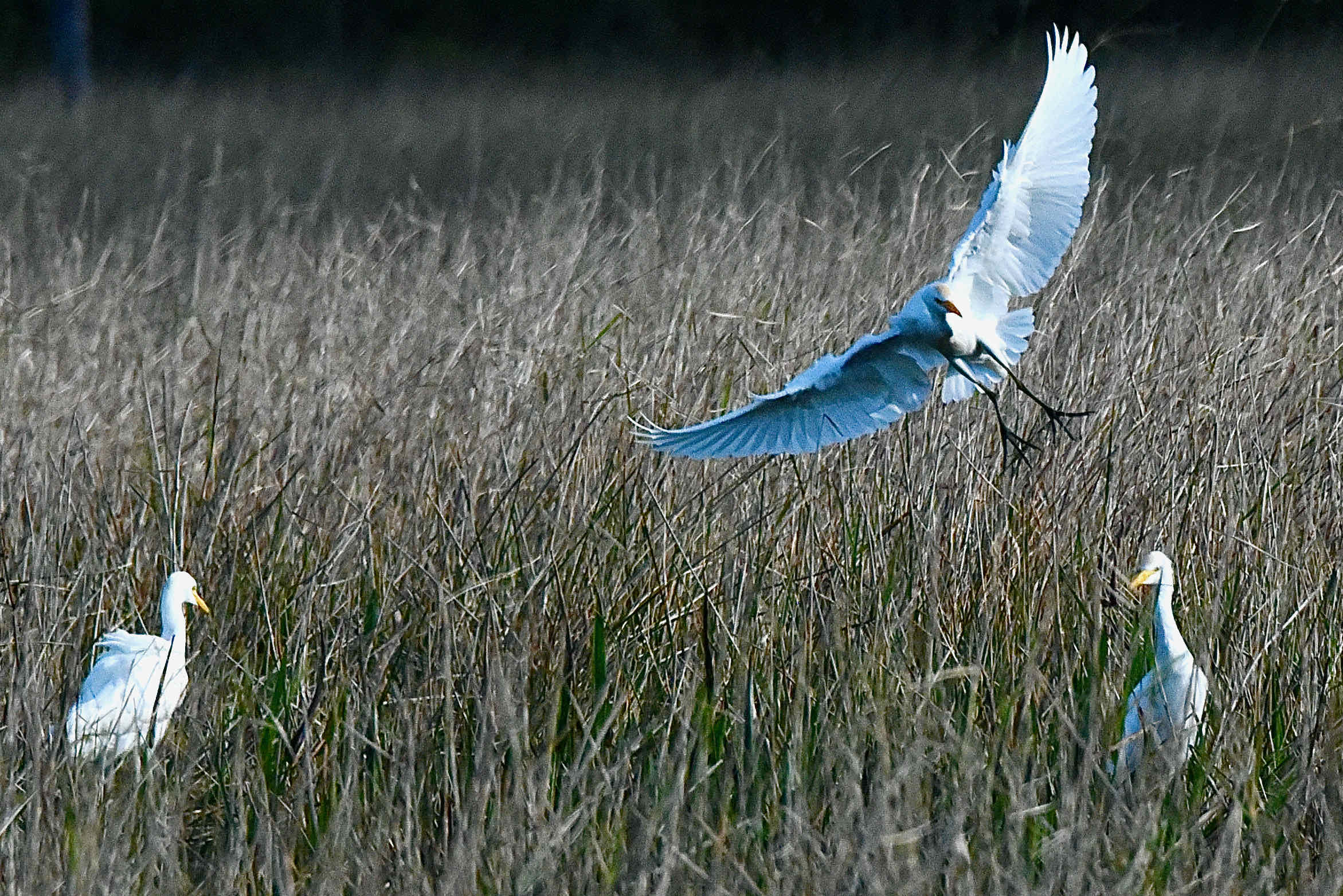
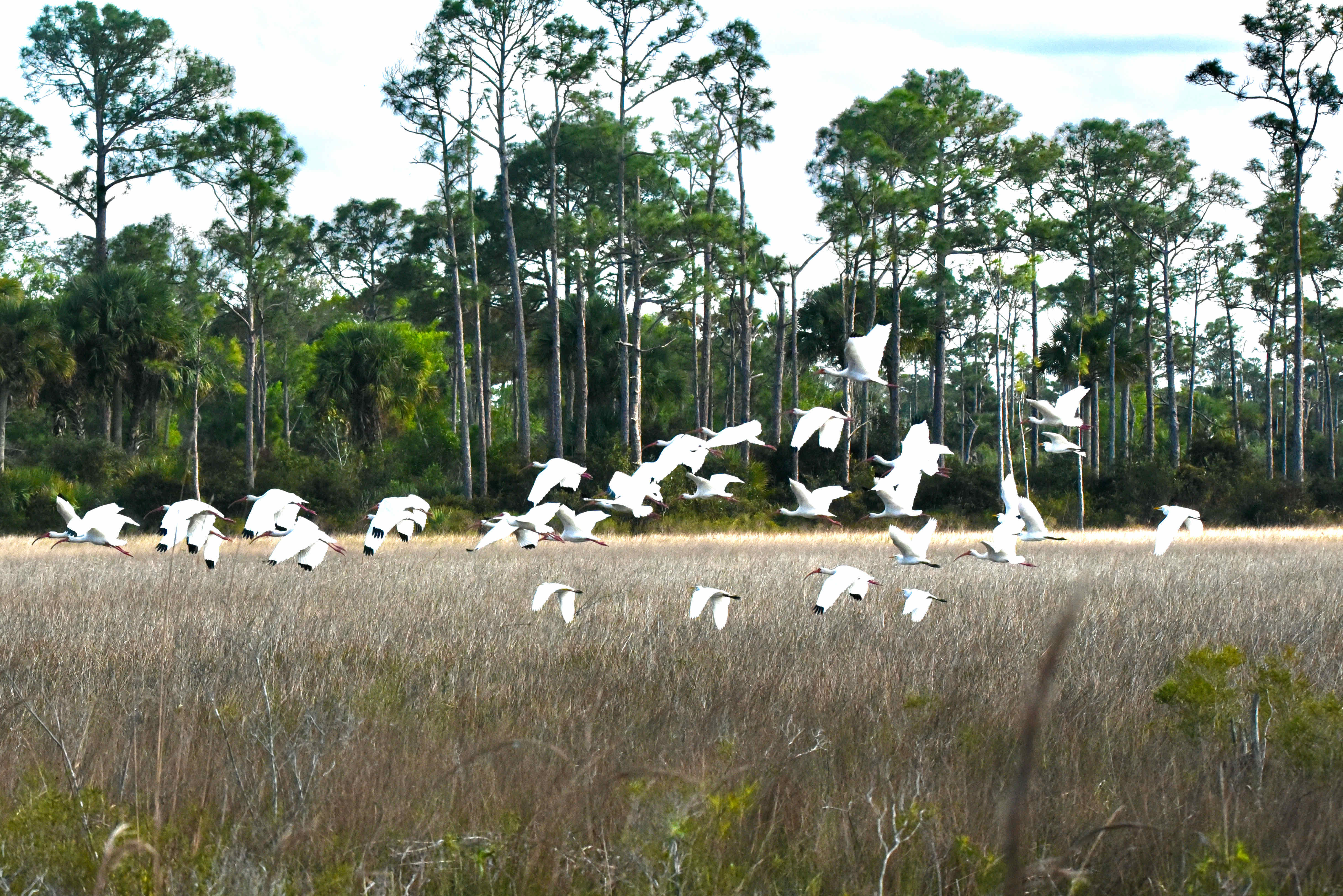
In our explorations, we've found Hungryland Slough rich in both wildflowers and birds. Carolina petunias, orange milkwort, coreopsis, large-flowered pink marsh, and narrowleaf blue-eyed grass, both in abundance, various St. John's worts, tiny, carnivorous zigzag bladderwort, leafy bladderwort, goldenrod, pickerelweed and many, many more. Great blue herons, little blue herons, great egrets, ibis, red-shouldered hawks, red-bellied woodpeckers, blue-gray gnatcatchers, various warblers in the cooler months. We've seen several wild hogs and evidence of many more. Raccoons, bobcat, gray fox and white-tailed deer likely roam the byways and backways of Hungryland.
It should be noted that the bounds of Hungryland Slough far exceeded the 3,004 acres incorporated within the natural area. Neighboring J.W. Corbett Wildlife Management Area, the John C. and Mariana Jones/Hungryland Wildlife and Environmental Area, the Pal-Mar Natural Area, Sweetbay Natural Area and the Dupuis Wildlife Management Area all include portions of the Hungryland watershed.
Hungryland has minimal public facilities, like most of Palm Beach County's natural areas. There is a parking area, informational kiosk and a 3.7-mile loop trail, a portion of which overlaps with the Ocean to Lake Trail, which veers off the loop and meets up with the multi-use Pantano Trail and the Jeaga Trailway System. The Jeaga interconnects some 160,000 acres of preserved land in the region. Only foot traffic is allowed within the natural area. The road remants, some of which are used by the county for maintence, also can be explored. There are no restrooms or drinking water.
For a trail map of Hungryland Slough Natural Area, click here. Take our virtual tour here.